Translations for our friends around the world.
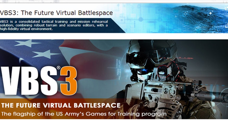
VBS

052214_wargames_trainer_640

Author Topic: Pix4D and BISim Demonstrate Integration of Pix4Dmapper Pro and VBS3  (Read 2545 times)

0 Members and 1 Guest are viewing this topic.

Offline Asid

  • HAVOC
  • *
  • Posts: 26290
Pix4D and BISim Demonstrate Integration of Pix4Dmapper Pro and VBS3 at ITEC 2016


Orlando, FL — Pix4D, a developer of professional drone photogrammetry software, will join Bohemia Interactive Simulations, a global developer of simulation software, at ITEC 2016 in London on stand #E110 to demonstrate a new integration of Pix4Dmapper Pro software with Virtual Battlespace 3 (VBS3).

Together, Pix4D and VBS3 offer new methods for generating virtual worlds based on real data for use in military tactical training and mission rehearsal.

Pix4D’s flagship software, Pix4Dmapper Pro, automatically converts images taken by hand, drone or by plane, and delivers highly precise, geo-referenced maps and models. Pix4Dmapper produces outputs such as 3D point clouds, true orthomosaics, 3D textured models, digital surface models, and NDVI maps.

“Together with Bohemia, we’re introducing a revolutionary approach in simulation,” said Christoph Strecha, CEO and founder of Pix4D. “Our software allows people to capture and model virtual reality at a level of accuracy and accessibility that wasn’t possible before. It’s a new era of reality simulation.”

Pix4Dmapper Pro can now create VBS3-compatible outputs to be exported into VBS3 for terrain developers to create virtual worlds based on real data.

“Pix4D enables VBS3 users to quickly and easily import accurate, geo-specific terrain data into VBS3, can provide data sets that some users might not be able to easily obtain, and may provide better resolution than some other existing data sources,” said Pete Morrison, Co-CEO for Bohemia Interactive Simulations. Pete added that, “VBS Blue, the new VBS-based planetary rendering technology, natively supports rendering of point clouds processed by Pix4D.”

The process for moving from Pix4Dmapper to VBS3 is simple. Once users have acquired drone imagery, they create a new project in Pix4Dmapper Pro and select the processing options for VBS export and PBO creation. Next, users prepare the project for VBS export and then click to send the data to VBS. Finally, they launch VBS3 and will see the new terrain output in the VBS3 Mission Editor. From there, VBS users can visualize the surface model using the newly imported Pix4D-processed terrain.

See BISim and Pix4D at Stand #E110 in London at ITEC from May 17-19.
funny
0
informative
0
Thanks
0
No reactions
No reactions
No reactions

I stand against Racism, Bigotry and Bullying

Tags:
     

    Real-time Human Performance Measurement Software for VBS3

    Started by Asid

    Replies: 0
    Views: 3084
    Last post November 19, 2015, 03:43:54 PM
    by Asid
    SimCentric's VBS3FIRESFST NATO Accredited

    Started by Asid

    Replies: 0
    Views: 2591
    Last post November 23, 2016, 12:03:33 AM
    by Asid
    The US Navy's @AllHandsMag writes about a unique use of VBS3 for training.

    Started by Asid

    Replies: 0
    Views: 3407
    Last post July 15, 2015, 04:33:13 PM
    by Asid
    VBS3 v3.9, expected for release in May.

    Started by Asid

    Replies: 1
    Views: 2849
    Last post April 28, 2016, 08:44:45 PM
    by Asid
    CV9040 part task trainer in VBS3 for the Swedish Armed Forces

    Started by Asid

    Replies: 1
    Views: 3101
    Last post May 11, 2017, 05:45:16 PM
    by Rinix